Battlefield Surveys
The vast majority of the land within areas of Pequot War Battlefield sites is private property, thus part of the project is to obtain landholder permission before any field work is completed.
If landholders are willing to give permission for field work, the researchers and archaeologists utilize noninvasive or minimally invasive methods in a two part series of the survey.
Part I of Survey includes: an initial site visit to view property and complete a walkover with the landowner, and an integrity assessment of the land.
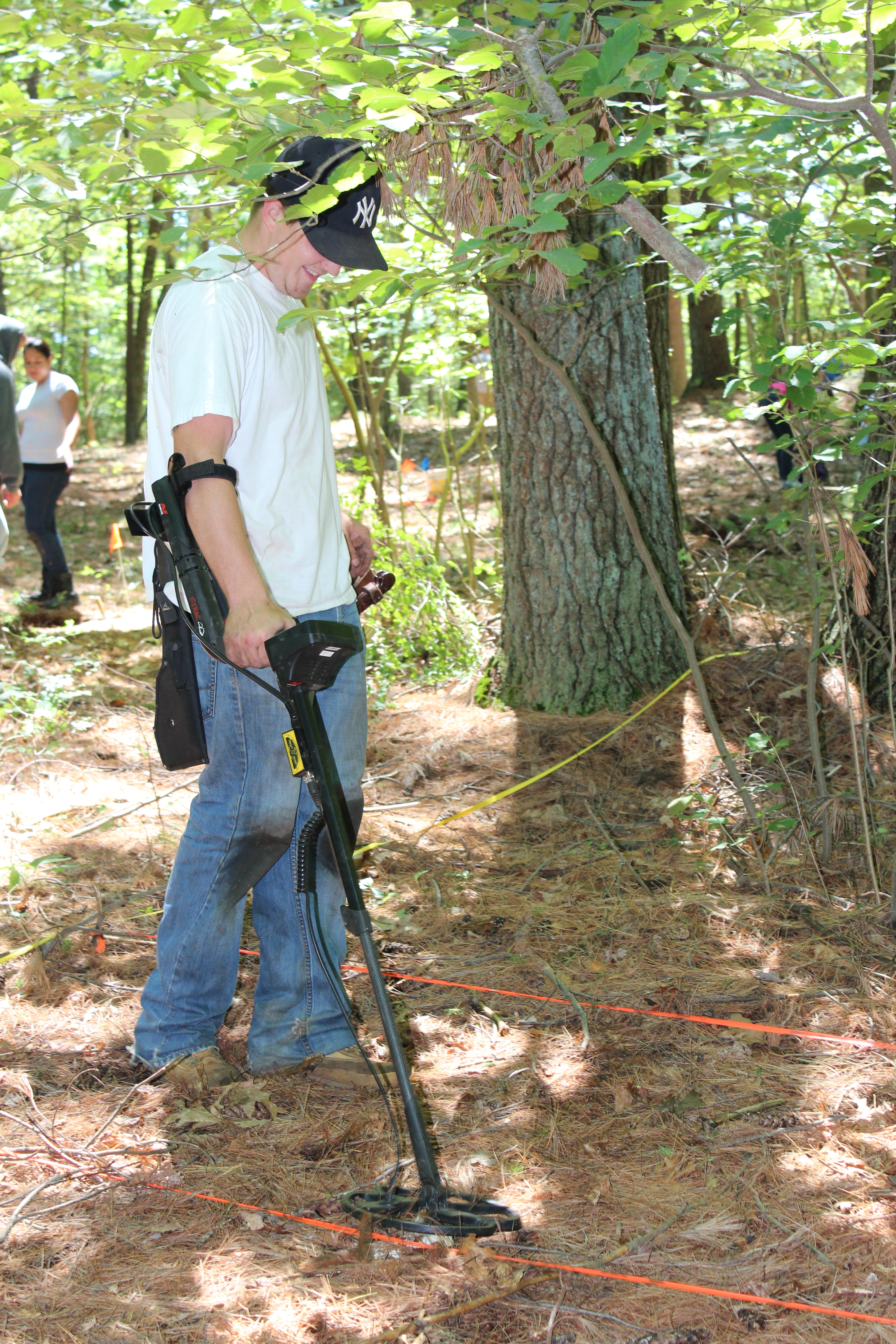
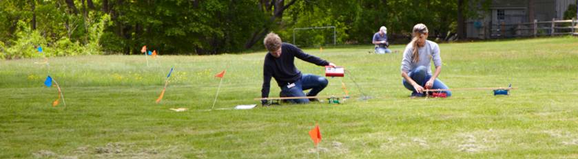
Part II of Survey includes: mapping (both a visible grid system and GIS), remote sensing and metal detection.
How did we choose these battlefield sites? The narratives and letters of John Mason, John Underhill, Philip Vincent, Lion Gardner (all four active participants in the war), and the letters of John Winthrop and Roger Williams provide important geographic clues to the locations of sites. Colonial maps, soldiers testimonies following the War and most importantly oral history & local lore have yielded particularly helpful facts. This information is integrated into a Geographic Information System database and analyzed using KOCOA – a military terrain model (Key terrain, Observation, Cover and concealment, Obstacles, Avenues of approach). The results, we hope, provide the necessary information to isolate these battlefield sites.